|
 |
 |
|
The Modern Drone Mapping Project:
Integrating UAS data into your GIS |
|
Please join us Thursday, July 11th @ 1pm Eastern
Streaming live from the Esri user conference! |
|
 |
|
More and more mapping projects are being executed by drones. Learn how Woolpert, a firm expecting to have close to 30 certified UAS pilots by the end of the year, plans and executes these jobs. We’ll address best practices for mission planning, execution, sensor selection, developing UAS lidar specifications and more.
|
| Title: |
The Modern Drone Mapping Project: Choosing the Right Approach |
| Date: |
Thursday, July 11th
2019 |
| Time: |
1:00 PM - 2:00 PM Eastern
|
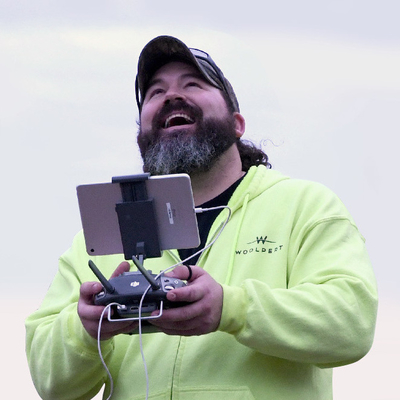
Lead presenter Aaron Lawrence, GISP, is the UAS Technology Manager for Woolpert, an international architecture, engineering and geospatial (AEG) firm. Woolpert was the first surveying and aerial mapping company to be approved by the FAA to fly UAS commercially in designated airspace.
Stick around for an interactive Q&A session with panelists after the presentation concludes.
This event is sponsored by Teledyne Optech.
|
| |
|
 | | |
|
| |