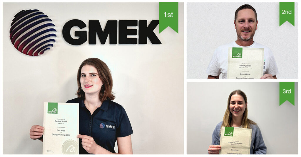
October 4, 2023 – When Controlling Complexity was announced as the theme for the 2023 Maptek Geology Challenge, Caroline Burden, Engineering Geologist with GMEK, was already dealing with a fascinating dataset at Jubilee Metals Ltd Croydon Project. The early objective of completing structural mapping then snowballed into creating a geological model for her winning project submission.
Now in its third year, the Maptek Geology Challenge provides all participants access to DomainMCF, Vulcan and Vulcan GeologyCore software for one month.
The dataset enthralling Burden was predominantly drillholes collected around 40 years ago. Having 10-20m long assay intervals and inconsistent lithology records was challenging enough. Adding a pit, about to re-enter production, exposed to the elements since the 1990s made structural mapping even harder.
‘Previously we processed data by manually flagging drillholes with different veins, assessed the model results and repeated ad nauseam,’ Burden said.
Free computing hours with Maptek machine learning engine DomainMCF was the incentive to try a more data-driven modelling approach.
DomainMCF allowed Burden to observe the 3D trends of grade distribution to visualise patterns, and add subsurface thrusts and faults that align with the structural mapping. This helped to incorporate additional domains for fault blocks and folding to refine the veining in the models.
‘I could really see where those structures were possible in the subsurface. Bringing the drillholes, the ATV data with structures picked, and the mapped data together within Vulcan GeologyCore helped to refine and place the structures that inherently controlled the mineralisation,’ Burden noted.
DomainMCF also helped assess structural relationships in the subsurface. Unsurprisingly, Burden found these structural relationships aligned with the mapped features present in the wall, highlighting the value of structural mapping and the insights revealed for geological modelling and controlling complexity.
‘It’s ideal for models to be largely data driven, but invariably we need a way to handle some of the statistical fuzziness to fill the gaps. Machine learning used in conjunction with the structural data was key in developing a more complete model, which is what we’re really hoping for!’ Burden concluded.
Maptek awarded second place to Anthony Bottrill, Principal Resource Geologist at InterGEO Resource Consulting, who also relished the ability to easily combine data types. This allowed him to rapidly generate a first pass 3D geochemical model using multi-element data, displaying the natural trends before conducting any interpretation.
‘I was expecting to understand geological controls within the known data extents, what I didn’t expect was that DomainMCF would present plausible extrapolation outside of the data extents,’ Bottrill said.
‘This ultimately gave me a new understanding of the relationship between two adjacent deposits and identified a target exploration zone for the main feeder structure to the system at depth.’
He noted that while there are many tools for analysing multi-element data, typically this is done at the sample level (aspatial), because analysis in the 3D environment involves a lot of preparation and applied assumptions.
‘DomainMCF required minimal input to set up and let the data speak for itself spatially,’ Bottrill said. ‘From there I could work on informed spatial interpretations in a way I have not been able to using other methods.’
‘The combination of Maptek geology tools allowed me to focus on the interpretation and think about the deposit controls spatially – this is where I believe the true value lies for a modelling geologist.’
‘Machine Learning, if used as another tool to aid our work, could offer new modelling opportunities for interpreting geology and orebodies,’ Bottrill concluded.
Third place was awarded to Evelyn Charlesworth, Computational Water Resource Scientist at Kōmanawa Solutions, for a project that sought to better understand coastal heterogeneity. Her favourite tool was the juxtaposition viewing slider for easily comparing geological outputs of models created from different datasets.
Maptek convenor, Senior Geologist Richard Jackson thanked all challenge participants, noting that the 2023 entries ranged across multiple commodity types and for resource geology and engineering geology applications.
‘We saw some truly innovative techniques used to solve a wide range of problems,’ Jackson said. ‘We set the theme of “controlling complexity” and the winning submissions exceeded our expectations in using DomainMCF to both understand and control the complexity in their models.’
Maptek applauds the fact that Burden plans to use the winning DomainMCF computing hours to continue to develop exciting new approaches to geotechnical modelling.
About Maptek
Maptek™ believes that to make mining more efficient, miners should be enabled to make better decisions. That’s why all our effort is focused on providing integrated decision-making support solutions. This integration is particularly important as it enables us to turn data into knowledge at every stage of the mining life cycle. Ultimately by fully integrating that knowledge Maptek wants to change the way mining is done forever. And we’ll achieve it by living our principles every day.
